Advertisement
The Island in the Desert
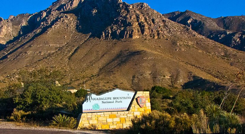
Often overlooked by travelers who unknowingly pass by, the Guadalupe Mountains National Park’s seemingly vast emptiness is anything but empty. The park is home to ancient marine fossils, three major ecosystems, and the highest peak in all of Texas.
Advertisement
Activities in Guadalupe Mountains National Park
The Guadalupe Mountains are sometimes referred to as the “Island in the Desert” because they rise more than 5,000 feet above the surrounding desert floor. This “island” offers so much to explore. Three ecosystems — ancient limestone reef canyons, maple, and oak woodlands, and coniferous forests of Douglas fir and ponderosa pine — combine to form a wondrous and unique national park.
The colorful foliage and cooler temperatures make fall an excellent season for hiking in the park. There are more than 80 miles of developed trails. The Guadalupe Peak Trail, arguably the most popular trail in the park, is an exceptionally rewarding 8.5-mile journey over steep rocky terrain. Visitors should allow an entire day to get through this hike, but the effort is worth it. The trail leads to the highest summit in all of Texas, which on a clear day features stunning views of the entire park and its surrounding mountains and desert.
To cater to visitors who crave wilderness adventure, the park allows extensive backcountry hiking. Backcountry hiking requires a free backcountry use permit that can be obtained from the Headquarters Visitor Center or the Dog Canyon Ranger Station. There are 10 backcountry camping sites. Visitors may camp no longer than three consecutive days in the backcountry.
Advertisement
Visiting Guadalupe Mountains National Park
The park is open year-round. Headquarters Visitors Center is the main visitor center in the park and is open daily all year, except Christmas Day. About a mile east of the visitor center is Frijole Ranch, which once served as the primary headquarters for ranching in the Guadalupes. It now features a small museum where visitors can learn about the local history of the park.
There are two developed campgrounds in the park: Pine Springs and Dog Canyon. These sites feature drinking water, flush-toilet restrooms, and other conveniences. Camping costs $8 a night.
Advertisement
Wildlife in Guadalupe Mountains National Park
As a desert climate, at first, the park may come across as barren and lifeless, but that is definitely not the case. Most of the animals in the park are nocturnal, coming out at night when the temperatures are cooler.
Wildlife is diverse and abundant in the park’s riparian area. The places with the best wildlife viewing opportunities are the permanent water sources such as Smith Springs, Manzanita Spring, and McKittrick Canyon.
With high body temperatures and the gift of flight, birds are the most common animal in the park, boasting more than 300 species. If you’re lucky, you’ll catch glimpses of broad-tailed and black-chinned hummingbirds. In the 1980s, the park reintroduced Montezuma quail to the area, which had been extirpated in the mid-1900s. Try to spot one of these elaborately marked birds in the Guadalupe Mountains National Park’s high-elevation forests.
Advertisement
History of Guadalupe Mountains National Park
Humans have inhabited the area of Guadalupe Mountains National Park for more than 10,000 years. The first inhabitants were most likely hunter-gatherers who lived in the area’s caves and alcoves. The Spanish arrived in the area in the mid-1500s, introducing horses, which were in turn used by the Apache tribes.
The Apaches roamed the land unchallenged until the mid-1800s when the advent of transportation and the end of the Civil War brought settlers, explorers, and homesteaders to the area. The 1840s called for surveyors to look for possible railroad routes. Afraid that the Apaches would interfere with their new property and investments, the settlers called on the military for help. The military then ordered troops to the area.
Of these troops were the Buffalo Soldiers, African-American Civil War veterans who remained in the army after the war. The Buffalo Soldiers, after fighting to gain their own freedom, fought to take away the freedom of the Native Americans. They halted Indian raids and drove the Apaches out of the area. By the late 1800s, nearly all the Apaches were living on reservations.
Because of the area’s rugged terrain, permanent settlement in the Guadalupe Mountains was uncommon. Most permanent settlers were ranchers. The idea of turning the area into a national park was proposed in the 1920s, but it wasn’t until 1972 that the idea came to fruition. Much of the land that laid the foundation for the park was donated by Wallace Pratt, an early oil explorer. He donated more than 6,000 acres to the National Park Service.
Other key dates in the Guadalupe Mountains National Park’s history:
- 1876 – The first permanent ranch house is constructed.
- 1908 – Another ranch site is built in the Guadalupe Mountains.
- 1928 – Captivated by the area’s beauty, Wallace Pratt begins buying land.
- 1966 – Congress passes legislation that establishes Guadalupe Mountains National Park.
Advertisement